
Postcode(s) 5081 Local time Saturday 12:40 AM | Postal code 5081 | |
 | ||
Population 1,128 (2006 census)1,081 (2001 Census) Weather 17°C, Wind SE at 8 km/h, 56% Humidity | ||
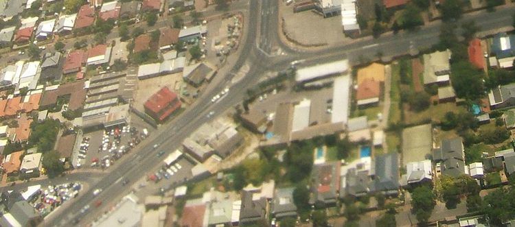
Medindie (formerly known as Medindee) is an inner northern suburb of Adelaide the capital of South Australia. It is located adjacent to the Adelaide Park Lands, just north of North Adelaide, and is bounded by Robe Terrace to the South, Northcote Terrace to the East, Nottage Terrace to the North and Main North Road to the Northwest.
Map of Medindie SA 5081, Australia
The upper middle class suburb is mainly residential and contains many fine homes, and a number of historic mansions: "Willyama", (the Aboriginal name for Broken Hill), at 12 The Avenue was named so by Charles Rasp, the boundary rider who pegged a mining claim that became Broken Hill, after he bought it in 1887 from Oscar Görger, a local doctor/surgeon; "The Briars" at 15 Briar Avenue, built for George Hawker in 1856, is now the McBride Hospital; and there are many fine houses along Robe Terrace.
In 1884 the Brown sisters established The Wilderness School, a private school for girls. The school moved to Northcote Terrace in 1885, to its current location on Northcote Terrace in 1893, and acquired its current name in 1918.
Medindie's median property sale price in the June quarter of 2010 was $1,657,000. The suburb regularly ranks with the highest median sale price in the South Australian Real Estate Institute's quarterly sales statistics. The top sale price in the 12 months to 21 March 2012 was $2,350,000 for a 4 bedroom house on Dutton Terrace.
The population of Medindie at the 2001 census was 1,081.