
Country United States GNIS feature ID 0470490 Area 310.2 km² Local time Friday 8:17 AM | ZIP codes 67104 Elevation 461 m Zip code 67104 Population 2,573 (2000) | |
 | ||
Weather 8°C, Wind N at 18 km/h, 83% Humidity | ||
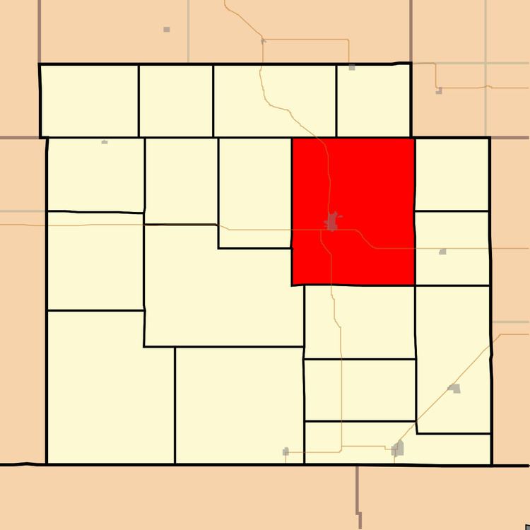
Medicine Lodge Township is a township in Barber County, Kansas, USA. As of the 2000 census, its population was 2,573.
Contents
Map of Medicine Lodge, KS, USA
Geography
Medicine Lodge Township covers an area of 119.75 square miles (310.2 km2) and contains one incorporated settlement, Medicine Lodge (the county seat). According to the USGS, it contains one cemetery, Highland.
The streams of Albee Creek, Amber Creek, Antelope Creek, Cedar Creek, Elm Creek, Hackberry Creek, Short Creek, Threemile Creek, Walnut Creek and West Branch Little Sandy Creek run through this township.
Transportation
Medicine Lodge Township contains one airport or landing strip, Medicine Lodge Airport.
References
Medicine Lodge Township, Barber County, Kansas Wikipedia(Text) CC BY-SA