
 | ||
Meda Nunatak (Bulgarian: нунатак Меда, ‘Nunatak Meda’ \'nu-na-tak 'me-da) is the rocky ridge extending 2.65 km in west-northwest to east-southeast direction, 700 m wide and rising to 770 m in Attlee Glacier on Foyn Coast, Antarctic Peninsula.
Contents
The feature is named after Meda of Odessos (4th century BC), a Thracian princess and wife of Philip II of Macedon.
Location
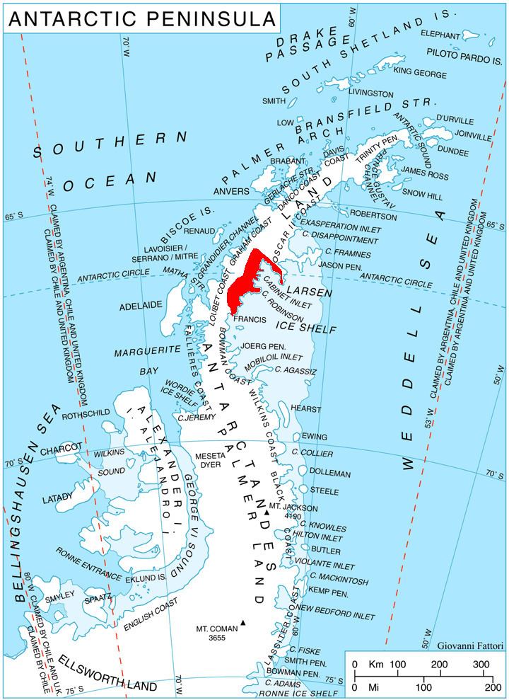
Meda Nunatak is located at 66°13′19″S 63°53′28″W, which is 15.35 km southwest of Bastion Peak, 8.8 km west-northwest of Fitzmaurice Point and 6.52 km northeast of Gluhar Hill. British mapping in 1974.
Maps
References
Meda Nunatak Wikipedia(Text) CC BY-SA