Time zone EET (UTC+2) Licence plate 22 Area code 0284 | Postal code 22910 Elevation 32 m | |
 | ||
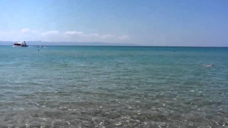
Mecidiye (former Köseatlı) is a small belde (town) in Keşan district of Edirne Province, Turkey. At 40°36′N 26°32′E Mecidye is close to Gulf of Saros ( Aegean Sea). The distance to Keşan is 28 kilometres (17 mi). The population of Mecidiye was 870 as of 2013. The settlement was founded by the Muslim refugees of the Russo-Turkish War (1877-1878) . Major economic activities of the town are fishing, beekeeping and farming. Tourism is also promising.
Map of Mecidiye, 22880 Mecidiye K%C3%B6y%C3%BC%2FKe%C5%9Fan%2FEdirne, Turkey
References
Mecidiye, Edirne Wikipedia(Text) CC BY-SA
