Supriya Ghosh (Editor)

Mechili

Updated on
Edit
Like
Comment
Share on FacebookTweet on TwitterShare on LinkedInShare on Reddit
Country
  
Libya

Time zone
  
EET (UTC+2)

District
  
Derna

Local time
  
Friday 7:44 AM

Mechili

Weather
  
12°C, Wind NE at 37 km/h, 88% Humidity
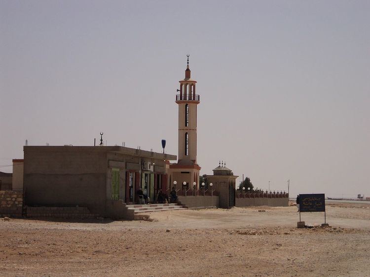
Mechili (Arabic: المخيلي‎‎) is a small village in Cyrenaica, Libya and the site of a former Turkish fort. It is nearly 274 km (170 mi) east of Benghazi and 80 km (50 mi) west of Timimi.

Contents

Map of Mechili, Libya

Geography

Because of its location in the desert, Mechili suffered in the past from isolation. However, its isolation ended after paving the Charruba–Timimi desert road between the years 1975–1985, and this road became the preferred route for travel between Tobruk to Benghazi.

World War II

  • In January 1941, the British force named “Western Desert Force” under command of General Richard O’Connor (after taking Tobruk on 22 January) executed a daring outflanking movement and took Mechili from Italian forces on 27 January.
  • On 7 April the same year, the Italian armoured division Ariete captured the British garrison at Mechili as a part of German Lieutenant General Erwin Rommel’s first offensive through Cyrenaica with the goal of encircling the British forces, and this helped in capturing O’Connor near Derna the same month.
  • On 18 December 1941, British forces re-took Mechili as a part of Operation Crusader.
  • In early February 1942, Rommel’s forces again took Mechili as a part of his second offensive through Cyrenaica.
  • In November 1942, the British forces occupied Mechili for the last time.
  • References

    Mechili Wikipedia


    Similar Topics