
Country United States ZIP codes 40346 Elevation 259 m Local time Thursday 11:27 PM | Time zone Eastern (EST) (UTC-5) GNIS feature ID 513896 Population 686 (2010) | |
 | ||
Weather -2°C, Wind S at 5 km/h, 53% Humidity | ||
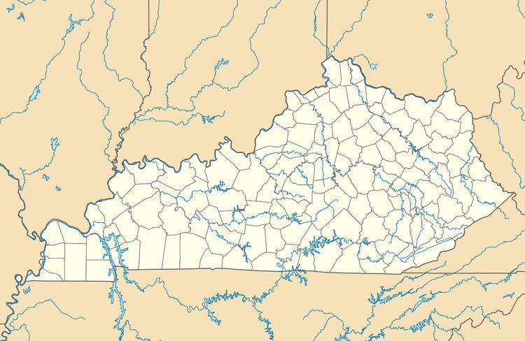
Means is an unincorporated community in Menifee County, Kentucky, United States. It lies along U.S. Route 460 and Kentucky Route 713, west of the city of Frenchburg, the county seat of Menifee County. Its elevation is 850 feet (259 m). Although it is unincorporated, it has a post office, with the ZIP code of 40346. Means is part of the Mount Sterling Micropolitan Statistical Area.
Map of Means, KY 40322, USA
The community has the name of the local Means family.
References
Means, Kentucky Wikipedia(Text) CC BY-SA