
OS grid reference NY129457 Post town WIGTON Dialling code 016973 | Sovereign state United Kingdom Postcode district CA7 | |
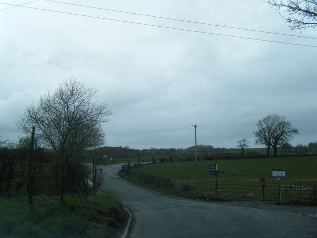 | ||
Mealrigg is a small settlement in the civil parish of Westnewton, close to the boundary with the civil parish of Holme St. Cuthbert in Cumbria, United Kingdom.
Contents
Map of Mealrigg, Wigton, UK
Mealrigg is situated one mile north-west of Westnewton, a quarter-of-a-mile east of New Cowper, and half-a-mile south of Aikshaw. Other nearby settlements include Jericho, Tarns, and Langrigg.
Historically, Mealrigg formed part of the township of Langrigg and Mealrigg.
Etymology
The name Mealrigg comes from the Old English middle-hrycg, meaning a middle ridge. There are several recorded variant spellings, including Midelrig, Meldrige, Milrig, and Meldrigg.
References
Mealrigg Wikipedia(Text) CC BY-SA