
Country United States Elevation 1,513 m | Time zone Pacific (PST) (UTC-8) Local time Thursday 4:53 PM | |
 | ||
Weather 7°C, Wind N at 5 km/h, 51% Humidity | ||
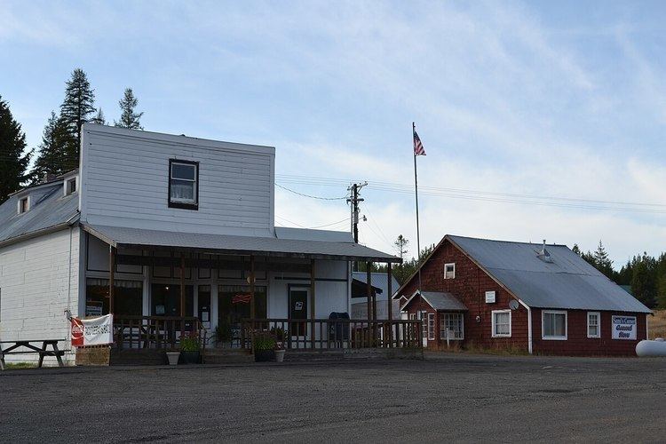
Meacham is an unincorporated community in Umatilla County, Oregon. It is located on the old alignment of U.S. Route 30 off Interstate 84, in the Umatilla National Forest, near Emigrant Springs State Heritage Area and the route of the Oregon Trail. It is part of the Pendleton–Hermiston Micropolitan Statistical Area.
Contents
Map of Meacham, OR 97859, USA
History
Meacham was a station on the Union Pacific Railroad, near the summit of the Blue Mountains. Major Henry A. G. Lee established a troop encampment, called Lee's Encampment, there in 1844. Meacham was named for Harvey J. and Alfred B. Meacham, who operated Meacham Station, a stage station, in the 1860s and 1870s. The first post office in the locality, established in 1862, was named "Encampment". The name was changed to "Meacham" in 1890.
On July 3, 1923, Meacham was declared the capitol of the United States for one day when President Warren G. Harding stopped for a day and participated in the exercises commemorating the eightieth anniversary of the covered wagon migration of 1843 (The Oregon Trail)." President Warren G. Harding gave a speech in Pendleton on July 4, 1923, commemorating the Oregon Trail, at which time his wife was presented with a Pendleton blanket shawl in a design that became popular as the "Harding design".
Climate
Meacham has a dry-summer humid continental climate (Köppen Dsb) with cold snowy winters and mild summers. It was widely reported that Meacham set the state record for lowest recorded temperature in February 1933 at −52 °F (−47 °C). Seneca, in Grant County, however, was colder at −54 °F (−48 °C).