
Airport type Public Elevation AMSL 1,090 ft / 332 m 2,425 739 Phone +1 724-295-1140 | 3/21 2,425 Address Freeport, PA 16229, USA | |
 | ||
Owner Theodore & Thomas Kijowski Similar Pittsburgh NorthEast Airport, Culmerville Airport, Consol Energy Inc, Butler County Airport, Kittanning Cemetery | ||
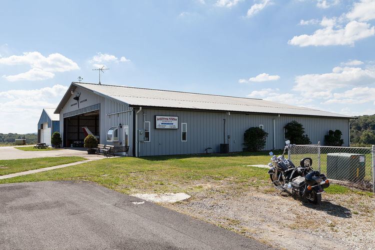
McVille Airport (FAA LID: 6P7) is a privately owned, public use airport located six nautical miles (11 km) northeast of the central business district of Freeport, a borough in Armstrong County, Pennsylvania, United States.
Facilities and aircraft
McVille Airport covers an area of 100 acres (40 ha) at an elevation of 1,090 feet (332 m) above mean sea level. It has two runways with turf surfaces: 3/21 is 2,425 by 160 feet (739 x 49 m) and 18/36 is 2,900 by 132 feet (884 x 40 m).
For the 12-month period ending April 30, 2007, the airport had 11,010 aircraft operations, an average of 30 per day: 99.9% general aviation and 0.1% military. At that time there were 56 aircraft based at this airport: 95% single-engine, 4% multi-engine and 2% ultralight.
References
McVille Airport Wikipedia(Text) CC BY-SA