
Country United States GNIS feature ID 497945 Zip code 40153 Area code 270 | Time zone Central (CST) (UTC-6) Elevation 206 m Local time Thursday 5:21 PM | |
 | ||
Weather 8°C, Wind SW at 8 km/h, 27% Humidity | ||
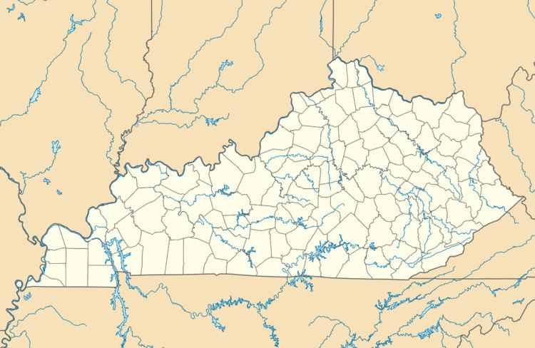
McQuady is an unincorporated community in Breckinridge County, Kentucky, United States. McQuady is located at the junction of Kentucky Route 105 and Kentucky Route 261, 5.9 miles (9.5 km) south-southwest of Hardinsburg. McQuady has a post office with ZIP code 40153.
Map of McQuady, KY 40119, USA
Its original name was "Jolly Station", for Nelson Jolly, a local landowner. It was named for the town's first postmaster, Anne McQuady.
References
McQuady, Kentucky Wikipedia(Text) CC BY-SA