
 | ||
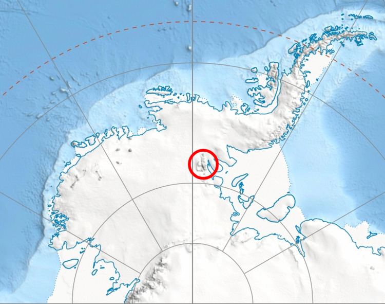
McPherson Peak (78°32′S 84°42′W) is a peak, 2,200 metres (7,200 ft) high, located at the west side of the head of Remington Glacier, in the Doyran Heights of the Sentinel Range in the Ellsworth Mountains, Antarctica. It was first mapped by the United States Geological Survey from surveys and U.S. Navy air photos from 1957–59, and was named by the Advisory Committee on Antarctic Names for William C. McPherson, Jr., a Navy radioman at South Pole Station in 1957.
Contents
Map of McPherson Peak, Antarctica
Maps
References
McPherson Peak Wikipedia(Text) CC BY-SA