Country Canada Population 59 (2011) | Census division 13 | |
 | ||
Weather 6°C, Wind S at 5 km/h, 49% Humidity | ||
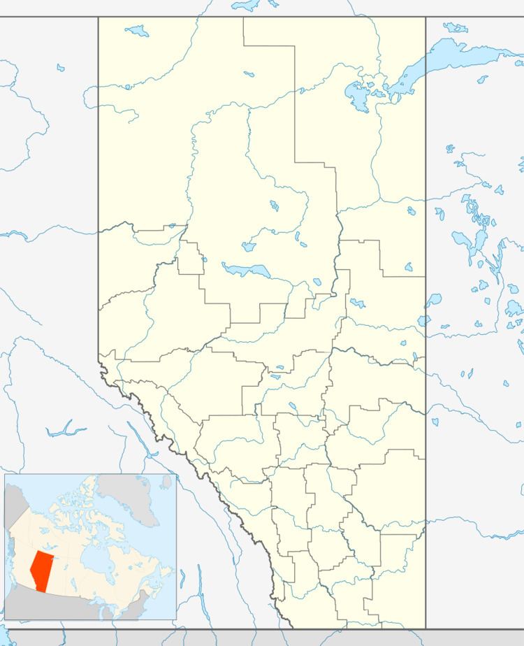
McNabb's is an unincorporated community in Alberta, Canada within Athabasca County that is recognized as a designated place by Statistics Canada. It is located on the north side of Highway 663, 3.5 km (2.2 mi) east of Highway 2.
As defined by Statistics Canada, McNabb's is adjacent to the western boundary of the designated place of Colinton. However, Athabasca County recognizes McNabb's as being part of the Hamlet of Colinton.
Demographics
As a designated place in the 2016 Census of Population conducted by Statistics Canada, McNabb's recorded a population of 48 living in 21 of its 25 total private dwellings, a change of 2998814000000000000♠−18.6% from its 2011 population of 59. With a land area of 0.66 km2 (0.25 sq mi), it had a population density of 72.7/km2 (188.4/sq mi) in 2016.
As a designated place in the 2011 Census, McNabb's had a population of 59 living in 24 of its 25 total dwellings, a -9.2% change from its 2006 population of 65. With a land area of 0.66 km2 (0.25 sq mi), it had a population density of 89.4/km2 (232/sq mi) in 2011.
