
Country Canada Time zone EST (UTC−5) Area code(s) 450 and 579 Area 3.4 km² Local time Thursday 5:23 PM | Constituted July 31, 1917 Postal code(s) J3G 6N9 Highways Route 116
Route 223 Population 5,615 (2011) Province Québec | |
 | ||
Weather -6°C, Wind W at 18 km/h, 58% Humidity RCM La Vallée-du-Richelieu Regional County Municipality | ||
McMasterville is a municipality in southwestern Quebec, Canada on the Richelieu River in La Vallée-du-Richelieu Regional County Municipality. The population as of the Canada 2011 Census was 5,615. It is within the Administrative Region of Montérégie.
Contents
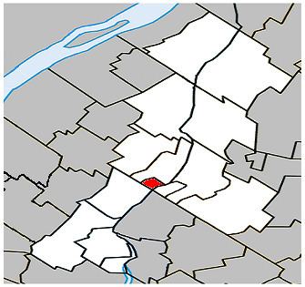
Map of McMasterville, QC, Canada
History
The town was founded in 1917 to house workers of the Canadian Explosives Limited which operated until 1998. The town is named after the first chairman of that company, William McMaster.
Geography
McMasterville is located along the Richelieu river, on the shore facing Mont St-Hilaire and Otterburn Park.
Education
The town is host to the École d'éducation internationale which offers secondary level education where students can follow the International Baccalaureate Middle Years Programme as defined by the IBO.
The South Shore Protestant Regional School Board previously served the municipality.
Transportation
Since 2000, McMasterville is served by the McMasterville commuter rail station on the Agence métropolitaine de transport's Mont-Saint-Hilaire Line. Local bus service is provided by the CIT de la Vallée du Richelieu.