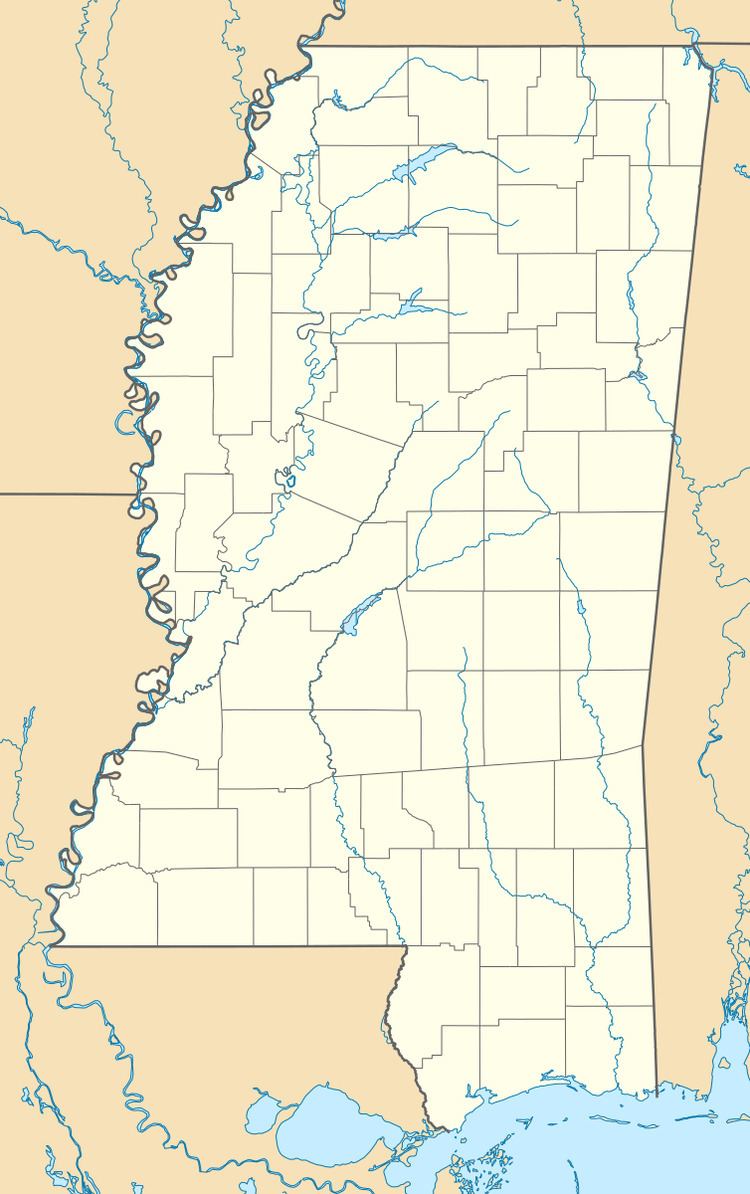
Country United States Time zone Central (CST) (UTC-6) Local time Thursday 3:32 PM | Elevation 354 ft (108 m) GNIS feature ID 693929 | |
 | ||
Weather 11°C, Wind SE at 0 km/h, 37% Humidity | ||
McLaurin is a small unincorporated community in Forrest County, Mississippi.
Contents
Map of McLaurin, Mississippi 39401, USA
History
The town of McLaurin is named for General McLaurin, who was also the first president of the Gulf and Ship Island Railroad. At one time, McLaurin was the site of the largest sawmill in the country, becoming an important shipping site for masonite and pulp wood. The manager of the first sawmill in the area, Jim Barron, is buried in McLaurin Cemetery.
The population in 1900 was 300.
A historic landing field for aircraft is located south of the settlement.
Education
Transportation
McLaurin is served by U.S. Route 49, a north-south corridor that runs through Arkansas and Mississippi.
Places of worship
References
McLaurin, Mississippi Wikipedia(Text) CC BY-SA
