
Named for Nathan B. Forrest Website forrestcountyms.us Area 1,217 km² | Founded 1906 Population 77,059 (2013) | |
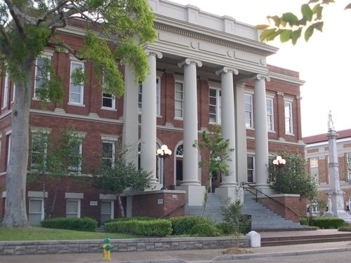 | ||
Colleges and Universities University of Southern Mississippi, William Carey University, Antonelli College Points of interest Hattiesburg Zoo, Kamper Park, Chain Park, Tatum Park, African American Military Hi | ||
Forrest County is a county located in the U.S. state of Mississippi. As of the 2010 census, the population was 74,934. Its county seat and largest city is Hattiesburg. The county was created from Perry County in 1908 and named in honor of Nathan B. Forrest, a Confederate general in the American Civil War. Forrest County is part of the Hattiesburg, MS Metropolitan Statistical Area.
Contents
- Map of Forrest County MS USA
- Geography
- Major highways
- Adjacent counties
- National protected area
- Demographics
- Cities
- Census designated places
- Ghost towns
- References
Map of Forrest County, MS, USA
Geography
According to the U.S. Census Bureau, the county has a total area of 470 square miles (1,200 km2), of which 466 square miles (1,210 km2) is land and 3.9 square miles (10 km2) (0.8%) is water.
Major highways
Adjacent counties
National protected area
Demographics
As of the census of 2000, there were 72,604 people, 27,183 households, and 17,315 families residing in the county. The population density was 156 people per square mile (60/km²). There were 29,913 housing units at an average density of 64 per square mile (25/km²). The racial makeup of the county was 64.34% White, 33.55% Black or African American, 0.19% Native American, 0.74% Asian, 0.02% Pacific Islander, 0.40% from other races, and 0.75% from two or more races. 1.26% of the population were Hispanic or Latino of any race.
There were 27,183 households out of which 31.00% had children under the age of 18 living with them, 42.60% were married couples living together, 17.20% had a female householder with no husband present, and 36.30% were non-families. 28.50% of all households were made up of individuals and 8.80% had someone living alone who was 65 years of age or older. The average household size was 2.47 and the average family size was 3.07.
In the county, the population was spread out with 24.50% under the age of 18, 18.20% from 18 to 24, 27.60% from 25 to 44, 18.30% from 45 to 64, and 11.30% who were 65 years of age or older. The median age was 30 years. For every 100 females there were 89.30 males. For every 100 females age 18 and over, there were 85.30 males.
The median income for a household in the county was $27,420, and the median income for a family was $35,791. Males had a median income of $28,742 versus $20,500 for females. The per capita income for the county was $15,160. About 17.10% of families and 22.50% of the population were below the poverty line, including 28.60% of those under age 18 and 12.80% of those age 65 or over.