
Country United States Time zone CST (UTC-6) Area 157 ha Population 3,132 (2010) | ZIP code 55411, 55412 Area code 612 | |
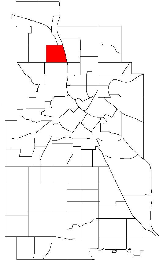 | ||
McKinley neighborhood on Minneapolis’ north side is bound on the north by Dowling Avenue North, on the south by Lowry Avenue North, on the west by Dupont Avenue North and on the east by the Mississippi River. The neighborhood is named for William McKinley, the 25th president of the United States. Many of the homes are two-story, single-family homes with wood frames; bungalows and some small stucco Tudors. Most of the houses were built between 1910 and 1930.
Map of McKinley, Minneapolis, MN, USA
Perkins Hill is the neighborhood park, located between 34th and 35th avenues North near Interstate 94.
References
McKinley, Minneapolis Wikipedia(Text) CC BY-SA