
- elevation 349 m (1,145 ft) - elevation 75 m (246 ft) | - location near Bellbird Creek Length 15 km | |
 | ||
- right Watchmaker Gully, Pheasant Creek (Victoria) - location | ||
The McKenzie River is a perennial river of the Bemm River catchment, located in the East Gippsland region of the Australian state of Victoria.
Contents
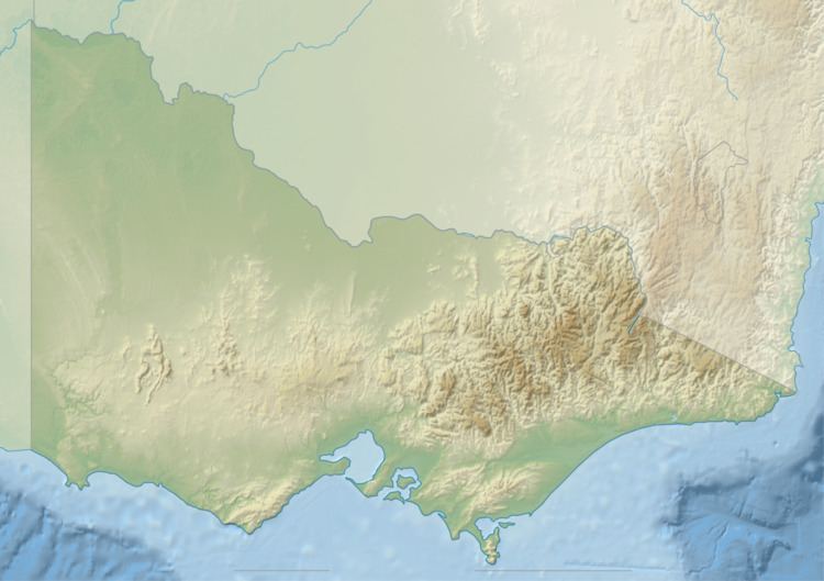
Map of Mckenzie River, Club Terrace VIC, Australia
Course and features
McKenzie River rises below Jungle Hill, part of the Errinundra Plateau, in remote country in the Errinundra National Park, and flows generally south by east, joined by two minor tributaries, before reaching its confluence with the Bemm River, near Bellbird Creek, west of the town of Cann River in the Shire of East Gippsland. The river descends 274 metres (899 ft) over its 15-kilometre (9.3 mi) course.
The McKenzie River sub-catchment area is managed by the East Gippsland Catchment Management Authority.
The river is traversed by the Princes Highway between Orbost and Cann River.
References
McKenzie River (Victoria) Wikipedia(Text) CC BY-SA