
Maintained by the City of St. Albert West end Ray Gibbon Drive Province Alberta | Location St. Albert Length 7 km Major cities St. Albert | |
 | ||
Major
junctions Ray Gibbon Drive, Mission Avenue, Dawson Road, St. Albert Trail, Boudreau Road, Erin Ridge Drive North end City Limits (Coal Mine Road) | ||
78a mckenney avenue 417 st albert ab t8n 7m3 canada
McKenney Avenue and Bellerose Drive are arterial roads in St. Albert, Alberta, Canada. Like all arteries of St. Albert, it does not run straight, has no street number, and mostly runs through residential.
Contents
- 78a mckenney avenue 417 st albert ab t8n 7m3 canada
- Map of McKenney Ave St Albert AB Canada
- 78b mckenney avenue 233 st albert ab t8n 7m3 canada
- Neighbourhoods
- Interchanges and intersections
- References
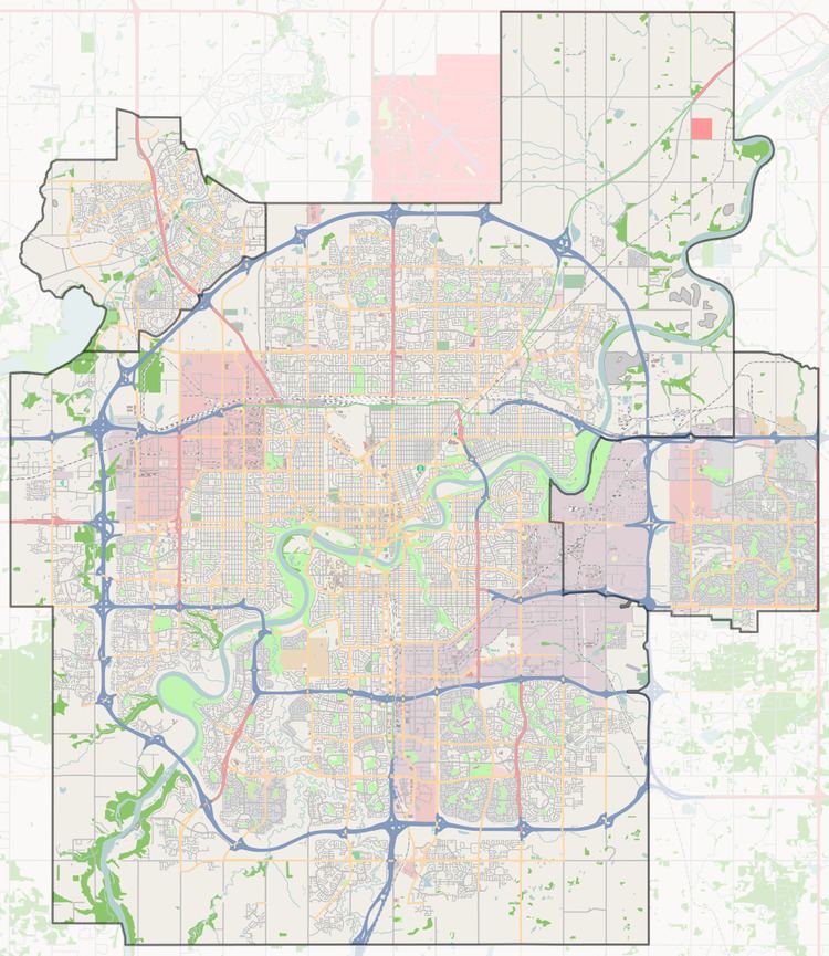
Map of McKenney Ave, St Albert, AB, Canada
78b mckenney avenue 233 st albert ab t8n 7m3 canada
Neighbourhoods
List of neighbourhoods McKenney Avenue / Bellerose Drive runs through, in order from south to north.
Interchanges and intersections
This is a list of major intersections, starting at the south end of McKenney Avenue.
References
McKenney Avenue Wikipedia(Text) CC BY-SA