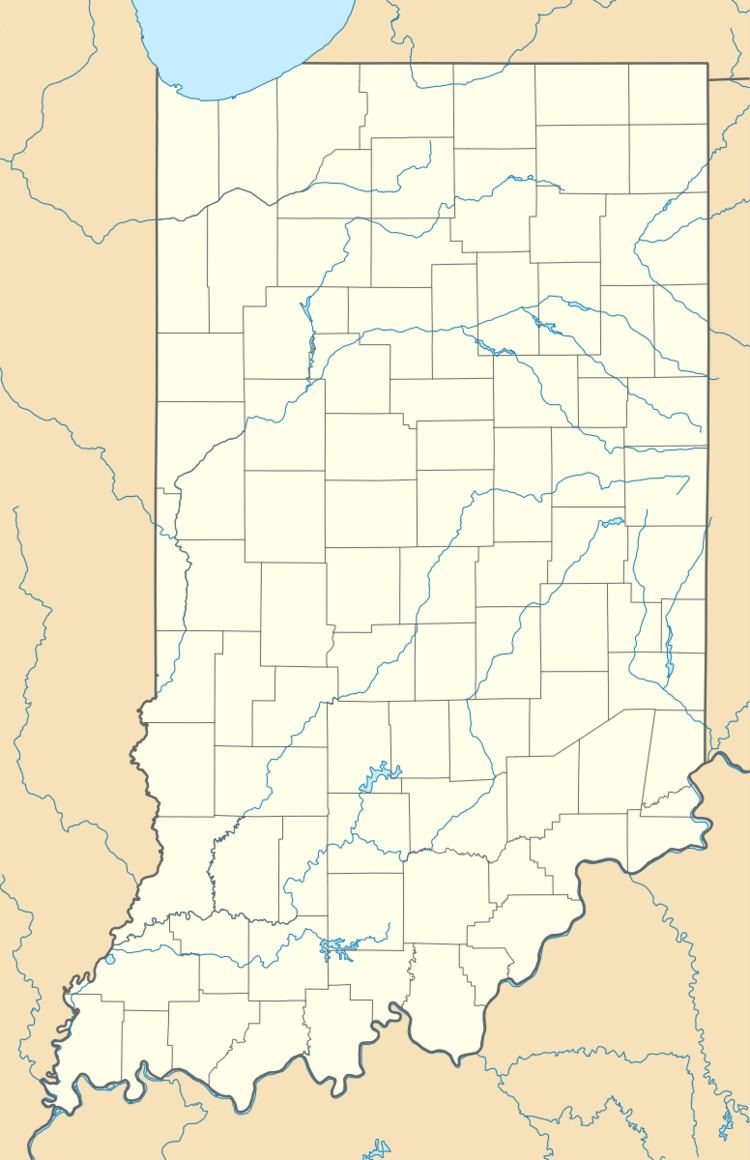
County Miami ZIP code 46911 Elevation 245 m | State Indiana FIPS code 18-45756 Local time Thursday 1:42 PM | |
 | ||
Weather 1°C, Wind W at 14 km/h, 42% Humidity | ||
McGrawsville is an unincorporated community in Clay Township, Miami County, Indiana. The eastern portion of town is in Harrison Township. Former businesses included Overman-Waters Company (owned by Ralph Overman and Herrell Waters) and Worl's Grocery. The town is home to McGrawsville United Methodist Church and the McGrawsville Feed & Grain Inc. The community is located on the former Conrail railroad line (previously the Pennsylvania/Penn Central railroads).
Contents
Map of McGrawsville, IN 46914, USA
History
McGrawsville was established as a depot on the Pan Handle Railroad. It was named for Nelson McGraw, who opened a small store on the site two years before the railroad was built.
In 1887, McGrawsville contained one general store, a blacksmith shop, and a church.
Geography
McGrawsville is located at 40°37′49″N 86°00′50″W, at the intersection of Miami County roads S 300E and E 950S.
