
Country United States ZIP code 28649 Elevation 528 m | Time zone Eastern (EST) (UTC-5) Area code(s) 336 Local time Thursday 1:36 PM | |
 | ||
Weather 2°C, Wind NW at 19 km/h, 33% Humidity | ||
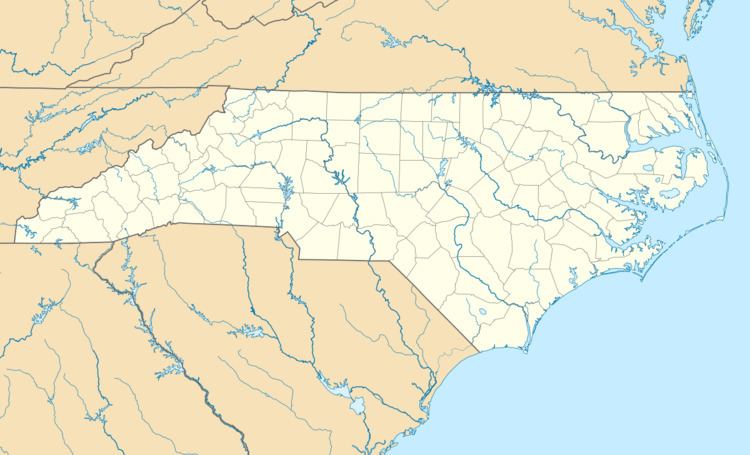
McGrady is an unincorporated community in Wilkes County, North Carolina, United States. McGrady is located along North Carolina Highway 18, 14 miles (23 km) north-northwest of Wilkesboro. McGrady has a post office with ZIP code 28649. McGrady is located at the base of the Blue Ridge Mountains; the Blue Ridge dominate the community's northern horizon. McGrady consists of numerous valleys with creeks and streams, lower mountain ridges, farms, and forests. The largest stream in the community is Mulberry Creek, which flows south to the Yadkin River, Wilkes County's largest river.
Map of McGrady, NC 28649, USA
References
McGrady, North Carolina Wikipedia(Text) CC BY-SA