
Country United States Time zone Pacific (PST) (UTC-8) Local time Thursday 9:25 AM | Elevation 4,150 ft (1,260 m) Area code(s) 458 and 541 | |
 | ||
Weather 2°C, Wind NW at 8 km/h, 92% Humidity | ||
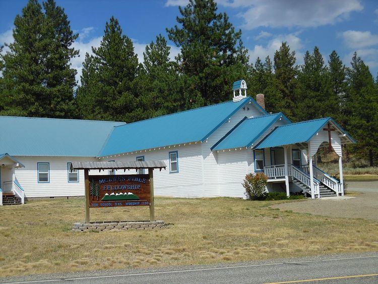
McEwen is an unincorporated community in Baker County, Oregon, United States. McEwen lies on Oregon Route 7 east of its interchange with Oregon Route 410. McEwen is about 6 miles (10 km) southeast of Sumpter along the Powder River.
Map of McEwen, OR 97814, USA
McEwen was founded as a logging town, platted in 1891, and then was a rail stop on the Sumpter Valley Railway. It was named after a Mormon missionary who converted Charles W. Nibley's parents to the LDS Church.
Oregon Geographic Names links the community name to Thomas McEwen, a settler who filed a land claim here in 1888. The McEwen post office opened in 1893 and closed in 1943.
References
McEwen, Oregon Wikipedia(Text) CC BY-SA