
Country United States ZIP codes 21562 Elevation 253 m Local time Thursday 10:05 AM | Time zone Eastern (EST) (UTC-5) FIPS code 24-49325 Area 3.6 km² Population 511 (2010) | |
 | ||
Weather -2°C, Wind W at 19 km/h, 54% Humidity | ||
McCoole is an unincorporated community and census-designated place (CDP) in Allegany County, Maryland, United States. As of the 2010 census it had a population of 511.
Map of McCoole, MD 21562, USA
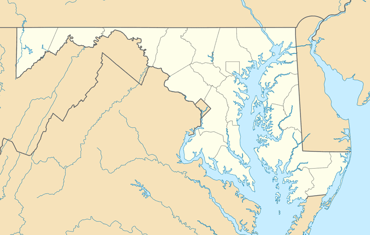
McCoole is located at the intersection of U.S. Route 220 and the east end of Maryland Route 135. It lies directly across the North Branch Potomac River from Keyser, West Virginia. McCoole had its own post office in operation from 1903 to 1910.
References
McCoole, Maryland Wikipedia(Text) CC BY-SA