
 | ||
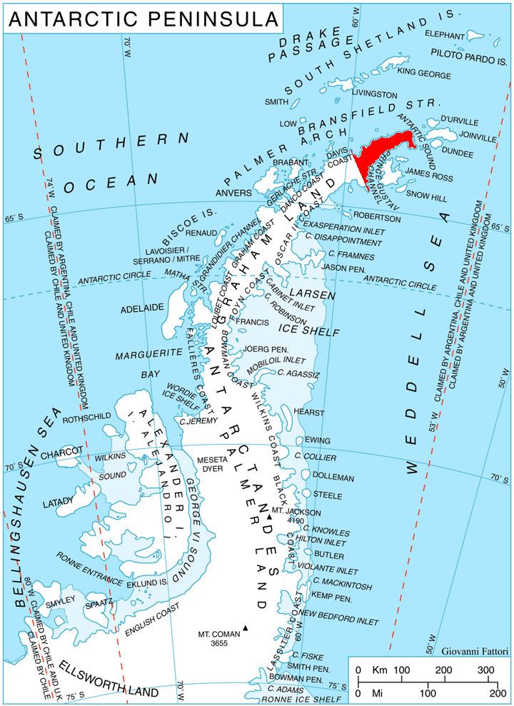
McCalman Peak (63°37′S 57°47′W) is the 550-metre (1,800 ft) summit of an east–west trending ridge 3 nautical miles (6 km) north of Crystal Hill, 3.97 km east-northeast of Gornik Knoll, 6.9 km south-southeast of Kumata Hill and 4.55 km west-southwest of Zaldapa Ridge on Trinity Peninsula, Antarctica. It was named by the UK Antarctic Place-Names Committee for Donald McCalman, a surveyor with the Falkland Islands Dependencies Survey at Hope Bay in 1958–59.
Contents
Map of McCalman Peak, Antarctica
Map
References
McCalman Peak Wikipedia(Text) CC BY-SA