
Country United States County Perry Time zone Central (CST) (UTC-6) Elevation 113 m Local time Thursday 7:06 AM | State Missouri FIPS code 29-44786 Zip code 63775 Area code 573 | |
 | ||
Weather -2°C, Wind SE at 6 km/h, 69% Humidity | ||
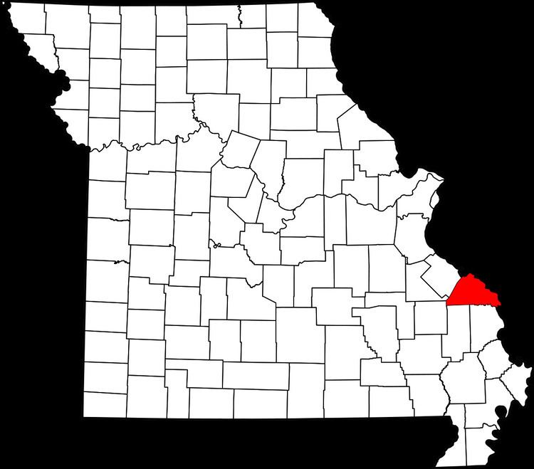
McBride is an unincorporated community located in Bois Brule Township in Perry County, Missouri. McBride is located about eight miles northeast of Perryville, Missouri.
Contents
Map of McBride, MO 63775, USA
Name
McBride was named after the McBride family, who were prominent landowners in the area.
History
The first settlers in the area around McBride were the McBride family, headed by Stephan McBride, who came to Perry County in 1837. The McBrides were natives of Nelson County and Marion County, Kentucky. The town grew up along the Frisco Rail line and had its own depot. The flood of 1993 destroyed much of the community. Today, McBride is home to the Gilster-Mary Lee Popcorn and Cereal plant.
Flooding
A number of floods over the years have left destruction on McBride, but the Great Flood of 1993 had devastated the community.
Geography
McBride is situated in the Bois Brule Bottom along Bois Brule Creek. The nutrient-rich bottomland made the land ideal for agriculture.