
Local time Wednesday 10:54 PM | ||
 | ||
Weather 22°C, Wind N at 8 km/h, 45% Humidity | ||
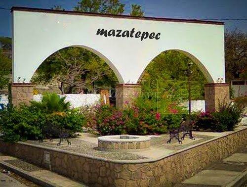
Mazatepec is a city in the Mexican state of Morelos. It stands at 18°43′37″N 99°21′43″W.
Contents
Map of Mazatepec, Morelos, Mexico
The city serves as the municipal seat for the surrounding municipality of the same name. The municipality reported 8,821 inhabitants in the year 2000 census.
History
Mazatepec is a town located in Morelos. The name Mazatepec comes from the nahuatl Mazatl: meaning deer, and Tepetl: hill. In prehispanic times Mezatepec was part of a religious and political center under the reign of Xochicalco. In the year 603 A.C. the Toltecs (an archaeological Mesoamerican culture that dominated a state centered in Tula) were established; later Mazatepec became part of Cuernavaca, belonging to the Aztec territory at that time. In the colonial time, Hernan Cortés brought the first cattle herd to Mezatepec, the first one in all Mexico.
The town has a place called "la loma" where the principal attractions of the town are located. In la Loma there are amazing viewing sites, two examples are the sanctuary called “del Señor del Calvario” and the church of “San Lucas” which both have great architectonic views. Also in "la loma" you can see the lagoon of Coatetelco and a general view of the town, this makes of La Loma a great place for tourists.