
Type Tiered Total width 20 feet (6.1 m) Elevation 1,181 m Number of drops 7 | Total height 490 feet (150 m) Height 149 m Width 6.1 m Longest drop 122 m | |
 | ||
Averageflow rate 250 cubic feet per second (7.1 m/s) Similar Wells Creek Falls, Sulphide Creek Falls, Green Lake Falls, Depot Creek Falls, Jordan Creek Falls | ||
Mazama falls waterfalls of the world
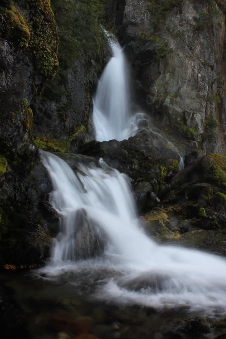
Mazama Falls, also referred to more simply as Wells Creek Falls (though this is incorrect, as there is a Wells Creek Falls downstream), is a waterfall on Wells Creek in the U.S. state of Washington. At nearly 500 feet (150 m) high, it is said to be the largest waterfall in the Wells Creek watershed.
Contents
Map of Mazama Falls, Washington, USA
The falls drops 500 feet (150 m) in three main tiers. The uppermost tier is formed as Wells Creek squeezes between a "pinched" cliff and falls over 200 feet (61 m) in a horsetail form, reminiscent of Nevada Falls in Yosemite National Park. Directly after this drop is a 100 feet (30 m) plunge, which falls into a water-sculpted bowl. The third tier is a short distance downstream, plunging about 150 feet (46 m) in a segmented form. The waterfall is also said to have four more smaller tiers, the largest of which is 50 feet (15 m).
The waterfall is easily seen from Wells Creek Road #33 in the Mount Baker Wilderness Area, approximately 7.5 miles (12.1 km) from Washington State Route 542. About 0.75 miles (1.21 km) below Mazama Falls is the 40 feet (12 m) rapids called Lower Mazama Falls. About 1.5 miles (2.4 km) downstream of Mazama Falls is Wells Creek Falls, a 90 feet (27 m) plunge.