
State Amapá Area 13,295 km² | Time zone UTC-3 (UTC-3) Local time Thursday 1:37 AM | |
 | ||
Weather 25°C, Wind NE at 5 km/h, 100% Humidity | ||
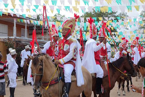
Balan o geral ap chutando o balde em mazag o
Mazagão (Portuguese: Município de Mazagão) is a municipality located in the south of the state of Amapá in Brazil. Its population is 17,030 and its area is 13,131 square kilometres (5,070 sq mi).
Contents
- Balan o geral ap chutando o balde em mazag o
- Map of MazagC3A3o State of AmapC3A1 Brazil
- Festa da musa dos clubes de mazag o 2015
- Name
- Conservation
- References
Map of Mazag%C3%A3o - State of Amap%C3%A1, Brazil
Festa da musa dos clubes de mazag o 2015
Name
The city was named after the Portuguese colony Mazagão in North Africa, now El Jadida, which the Portuguese abandoned in 1769 after some 250 years of occupation. Many of its inhabitants were evacuated to Brazil, where they founded a new settlement Nova Mazagão (0°12′59″S 51°25′55.6″W), now known as Mazagão Velho. One of the main theories on the origin of the name of Mazagaon - one of the original Seven Islands of Bombay and still a historic neighborhood of Mumbay, India - derives this name, too, from the Moroccan city, since both were under Portuguese rule in the same time.
Conservation
The municipality contains 44% of the 501,771 hectares (1,239,900 acres) Rio Cajari Extractive Reserve, created in 1990. It contains 19% of the 806,184 hectares (1,992,120 acres) Rio Iratapuru Sustainable Development Reserve, created in 1997. It contains part of the Jari Ecological Station. It also contains 8.56% of the 2,369,400 hectares (5,855,000 acres) Amapá State Forest, a sustainable use conservation unit established in 2006.