
Local time Thursday 6:34 AM | ||
 | ||
Weather 17°C, Wind E at 3 km/h, 96% Humidity | ||
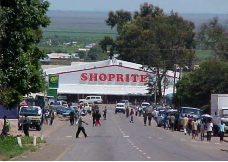
Mazabuka is a town in the Southern Province of Zambia, lying south west of Lusaka, on the Lusaka-Livingstone Road and the railway to Livingstone. The town lies on the south east edge of the Kafue Flats wetland. The name Mazabuka originates from a Tonga local language word "Twazabuka" or "Kuzabuka" which means "To cross over the river". It is believed that the name was coined after the Tonga people Crossed the Magoye river during their migrations.
Contents
Map of Mazabuka, Zambia
The town has grown around sugar cane plantations, and currently Zambia Sugar (Nakambala Estate run by Illovo Sugar) is Zambia's leading sugar producer. It lies near the Mwanachingwala Conservation Area. Its population in 2000 was estimated at 35,000.
Girls at city of joy mazabuka zambia
Features of Mazabuka
References
Mazabuka Wikipedia(Text) CC BY-SA