
Local time Thursday 7:15 AM | Elevation 1,190 m | |
 | ||
Weather 19°C, Wind SE at 8 km/h, 100% Humidity | ||
Searching for gold in mayuge uganda
Mayuge is a town in the Eastern Region of Uganda. It is the site of the Mayuge District headquarters.
Contents
- Searching for gold in mayuge uganda
- Map of Mayuge Uganda
- Mayuge district regulates sugarcane cultivation
- Location
- Overview
- Population
- Economic activity
- References
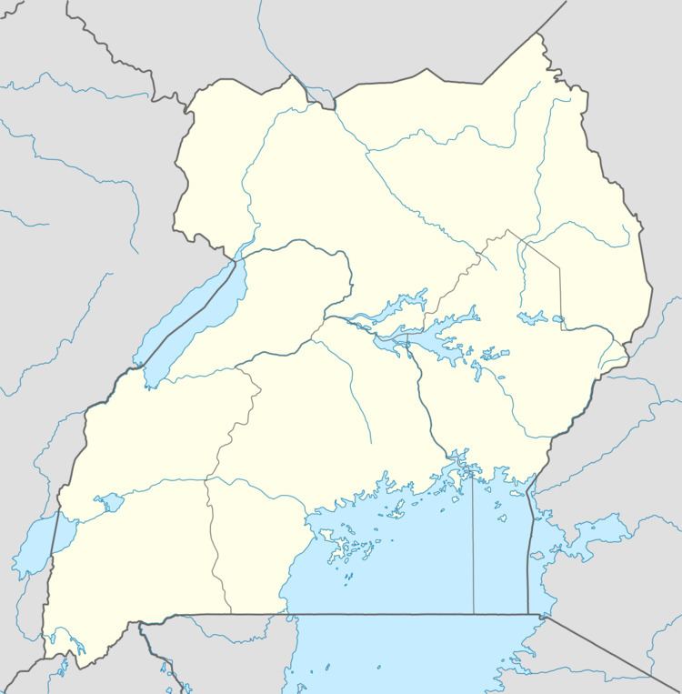
Map of Mayuge, Uganda
Mayuge district regulates sugarcane cultivation
Location
Mayuge is located on the Musita–Mayuge–Lumino–Majanji–Busia Road, about 14 kilometres (9 mi) southeast of Musita, on the Jinja–Iganga–Bugiri–Tororo Road. This is about 19 kilometres (12 mi) south of Iganga, the nearest large town. Mayuge lies approximately 37 kilometres (23 mi), east of the city of Jinja. Neighboring communities include Bugadi, Bukanya, Bugoto, Wandegeya, Bemba, Namalege, Musita, and Ikulwe. The coordinates of Mayuge are 0°27'28.0"N, 33°28'48.0"E (Latitude:0.457782; Longitude:33.480003).
Overview
Mayuge is a small rural settlement that is in the process of becoming an urban center. Mayuge is the only municipality in Mayuge District. Sanitation was one of the major challenges that the town faced in 2010.
Population
In 2002, the national census estimated Mayuge's population at about 8,720. In 2010, the Uganda Bureau of Statistics (UBOS) estimated the population at 11,500. In 2011, UBOS estimated the population at 11,900. On 27 August 2014, the national population census put the population at 17,151.
Economic activity
The economic activity in the town revolves mainly around subsistence agriculture, poultry farming, and animal husbandry.