
County Rush Time zone Eastern (EST) (UTC-5) Elevation 308 m | State Indiana ZIP code 46155 Local time Wednesday 11:57 PM | |
 | ||
Weather -4°C, Wind W at 8 km/h, 63% Humidity | ||
Mays is an unincorporated community in Center Township, Rush County, in the U.S. state of Indiana.
Contents
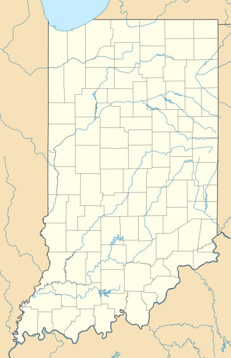
Map of Mays, IN, USA
History
A post office has been in operation at Mays since 1883. Mays was laid out and platted in 1884.
Geography
Mays is located at 39°44′37″N 85°25′48″W in Rush County, Indiana. It lies east of the town of Carthage, and west of the unincorporated community Raleigh.
Education
Mays is served by Mays Community Academy for grades K-6, and they move to Benjamin Rush Middle School in Rushville for grades 7-8, and then Rushville Consolidated High School in grades 9-12.
References
Mays, Indiana Wikipedia(Text) CC BY-SA