
Country Philippines Established 1954 Time zone PST (UTC+8) Local time Thursday 11:40 AM | District 2nd district of Leyte Barangays Area 42.17 km² Province Leyte | |
 | ||
Region Eastern Visayas (Region VIII) Weather 26°C, Wind NE at 16 km/h, 82% Humidity | ||
Supertyphoon yolanda aftermath mayorga leyte
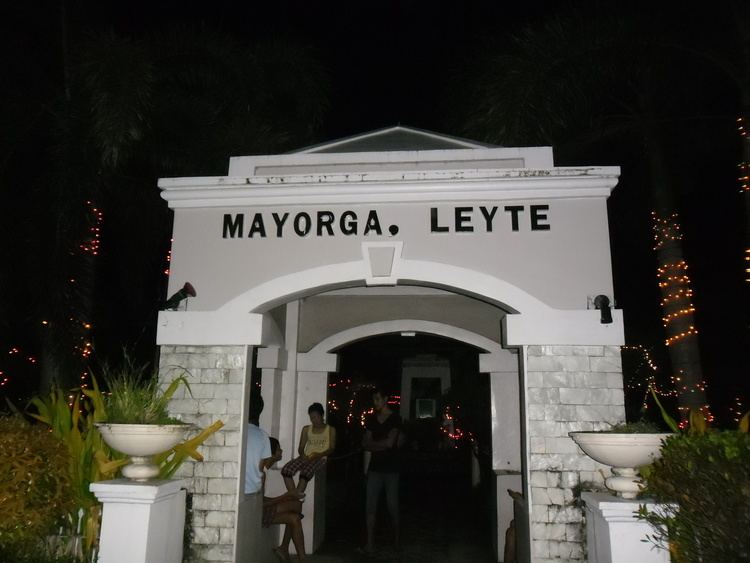
Mayorga is a 5th class municipality in the province of Leyte, Philippines. According to the 2015 census, it has a population of 17,161 people.
Contents
- Supertyphoon yolanda aftermath mayorga leyte
- Map of Mayorga Leyte Philippines
- Devastation of super typhoon yolanda haiyan in mayorga leyte philippines
- Barangays
- References
Map of Mayorga, Leyte, Philippines
The town was created in 1954 from the barrios of Mayorga, Andres Bonifacio, Talisay, San Roque, Burgos, Liberty, Union, Ormocay, Wilson, and the southern portion of barrio of Cogon Bingcay which were then a part of Dulag.
Devastation of super typhoon yolanda haiyan in mayorga leyte philippines
Barangays
Mayorga is politically subdivided into 16 barangays. In 1957, the sitios of Picas, Guintulayan, and Bañgag were converted into barrios and renamed Santa Cruz, General Antonio Luna, and Calipayan, respectively.
References
Mayorga, Leyte Wikipedia(Text) CC BY-SA