
Quadrant NE Established 1962 Elevation 1,075 m Local time Wednesday 8:05 PM | Ward 10 Annexed 1910 Population 5,706 (2006) | |
 | ||
Weather 2°C, Wind N at 14 km/h, 61% Humidity | ||
Mayland Heights is a residential neighbourhood in the north-east quadrant of Calgary, Alberta. It is bounded by Barlow Trail to the east, Memorial Drive to the south, Deerfoot Trail to the west and Trans-Canada Highway to the north.
Contents
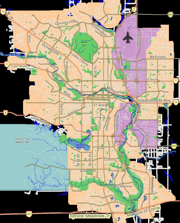
Map of Mayland Heights, Calgary, AB, Canada
The land was annexed to the City of Calgary in 1910. Originally called Crossroads, the community was established in 1962. It is represented in the Calgary City Council by the Ward 3 councillor.
Demographics
In the City of Calgary's 2012 municipal census, Mayland Heights had a population of 7003583300000000000♠5,833 living in 7003278700000000000♠2,787 dwellings, a 0% increase from its 2011 population of 7003583500000000000♠5,835. With a land area of 2 km2 (0.77 sq mi), it had a population density of 2,900/km2 (7,600/sq mi) in 2012.
Residents in this community had a median household income of $49,581 in 2000, and there were 14.5% low income residents living in the neighbourhood. As of 2000, 16.1% of the residents were immigrants. A proportion of 29.6% of the buildings were condominiums or apartments, and 42% of the housing was used for renting. The area can also be noted for its large Italian community.