
Country United States FIPS code 19-92898 Elevation 308 m Local time Wednesday 3:46 PM | Time zone Central (UTC-6) GNIS feature ID 0468369 Area 94.3 km² Population 1,314 (2010) | |
 | ||
Weather -3°C, Wind SW at 13 km/h, 47% Humidity | ||
Maxfield Township is one of fourteen townships in Bremer County, Iowa, USA. As of the 2000 census, its population was 1,314.
Contents
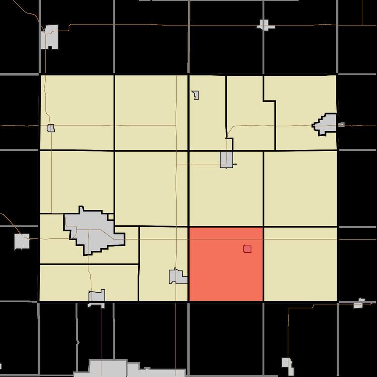
Map of Maxfield, IA, USA
Geography
Maxfield Township covers an area of 36.41 square miles (94.3 km2) and contains one incorporated settlement, Readlyn. According to the USGS, it contains six cemeteries: Emanuel Evangelical Lutheran, Saint Johns Lutheran, Saint Mathews Lutheran, Saint Pauls (two cemeteries of this name) and Zions.
References
Maxfield Township, Bremer County, Iowa Wikipedia(Text) CC BY-SA