
Area 70 acres (0.28 km) Phone +1 518-827-4711 | Created 1959 (1959) | |
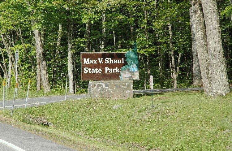 | ||
Location Route 30Fultonham, New York Address 3075 NY-30, Fultonham, NY 12071, USA Similar Mine Kill State Park, Hudson River Islands St, Betty and Wilbur Davis Sta, Eel Weir State Park, Macomb Reservation State Park Profiles | ||
Max V. Shaul State Park is a 70-acre (0.28 km2) state park in Schoharie County, New York, United States. The park is located in Schoharie Valley between Breakabeen and Fultonham in the Town of Fulton, within sight of Vroman's Nose.
Contents
HistoryEdit
New York State made the initial purchase of land that was to become the park in 1958. Originally named Toepath Mountain Picnic Area and Campsite, the park opened on May 28, 1959.
Park descriptionEdit
Max V. Shaul State Park features a softball field, a playground, fishing (at Panther and Schoharie creeks), picnic grounds, and cooking and camping sites. Cross-country ski trails are available in the winter. Camping is available at 30 tent and trailer sites, and campers at Max V. Shaul State Park are permitted free access to nearby Mine Kill State Park during their stay.
The park is located on Route 30, and the southern entrance of Old Route 30 is at the park.