
Country United States FIPS code 31-31150 Elevation 884 m Population 57 (2010) Local time Wednesday 2:26 PM | Time zone Central (CST) (UTC-6) GNIS feature ID 831092 Area 57 ha Zip code 69037 | |
 | ||
Weather 21°C, Wind NE at 6 km/h, 21% Humidity | ||
Max is an unincorporated community and census-designated place in Dundy County, Nebraska, United States. Its elevation is 2,900 feet (880 m) above sea level. Its population as of 2010 was 57.
Contents
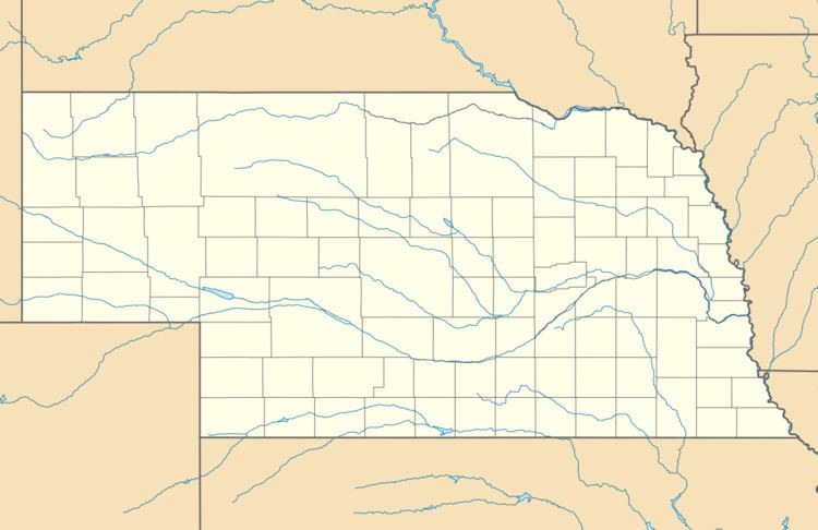
Map of Max, NE 69037, USA
Max is located in eastern Dundy County along U.S. Route 34 in the valley of the Republican River. Via US 34 it is 9 miles (14 km) southwest to Benkelman, the county seat, and 10 miles (16 km) east to Stratton.
History
The first settlement at Max was made in 1880. The community named itself in honor of the postmaster, Max Monivisin.
References
Max, Nebraska Wikipedia(Text) CC BY-SA