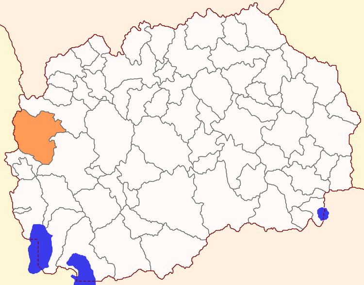
Country Macedonia Time zone CET (UTC+1) | Municipal seat Rostuša Area 663.2 km² | |
 | ||
Region Polog Statistical Region Points of interest Mavrovo National Park, Saint Jovan Bigorski, Mavrovo ‑ Zare Lazarevski, Korab, Mavrovo Lake | ||
Mavrovo and Rostuša (Macedonian: Маврово и Ростушa ) is a municipality in western Republic of Macedonia. The municipal seat is located in the village of Rostuša. This municipality is part of the Polog Statistical Region.
Contents
- Map of Municipality of Mavrovo and Rostusha Macedonia FYROM
- Geography
- Villages
- Demographics
- Notable people
- References
Map of Municipality of Mavrovo and Rostusha, Macedonia (FYROM)
Geography
The municipality borders Gostivar Municipality to the north, Kičevo Municipality to the east, Debar Municipality to the south and Albania to the west.
Villages
The municipality consists of the following villages: Adžievci, Beličica, Bibaj, Bituše, Bogdevo, Boletin, Cerovo, Duf, Galičnik, Grekaj, Janče, Kičinica, Krakornica, Lazaropole, Leunovo, Mavrovi Anovi, Mavrovo, Ničpur, Nikiforovo, Nistrovo, Nivište, Novo Selo, Orkjuše, Prisojnica, Ribnica, Rosoki, Rostuša, Selce, Sence, Skudrinje, Sretkovo, Sušica, Tanuše, Trebište, Tresonče, Velebrdo, Viduše, Volkovija, Vrben, Vrbjani, Žirovnica, Žužnje
Demographics
According to the last national census from 2002, this municipality has 8,618 inhabitants. Ethnic groups in the municipality include:
