
Admin. region Schwaben Elevation 716 m (2,349 ft) Area 16.55 km² Population 2,987 (31 Dec 2008) Dialling code 08341 | Time zone CET/CEST (UTC+1/+2) Local time Wednesday 3:41 PM Postal code 87665 Administrative region Swabia | |
 | ||
Weather 13°C, Wind N at 10 km/h, 49% Humidity | ||
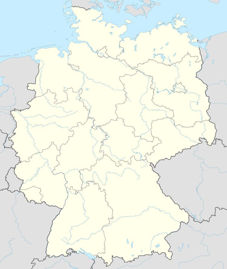
Mauerstetten is a municipality in the district of Ostallgäu in the southwest of Bavaria in Germany.
Map of Mauerstetten, Germany
Its foundations dates back to the early 9th century, and its name actually means "place of walls", due to ruins of supposedly Roman origin found there. Currently, Mauerstetten has about 2,800 inhabitants living in the four parts of the community: Mauerstetten itself, Steinholz, Hausen and Frankenried. Agriculture still plays a large role in the village, but some modest industry is to be found there as well.
The village has a primary school, a kindergarten, two banks (Sparkasse and RaiBa), a small grocery store, a bakery, and a small post office. In the center of Mauerstetten stands the church St. Vitus.
References
Mauerstetten Wikipedia(Text) CC BY-SA