
District Allahabad Area 3.5 km² Local time Wednesday 7:46 PM | Time zone IST Population 19,645 (2011) | |
 | ||
Weather 22°C, Wind NW at 5 km/h, 39% Humidity | ||
Mau Aima is an industrial town and a Nagar Panchayat in Allahabad district in the Indian state of Uttar Pradesh.
Contents
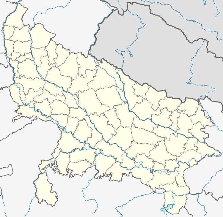
Map of Mau Aima, Uttar Pradesh 212507
About
Mau Aima is a panchayat town situated in the Allahabad district of the north Indian state of Uttar Pradesh. It is positioned in the north of Allahabad, 30 km on the state highway from Allahabad to Faizabad. Chitpalgarh, Raniganj, Siwaith and Sikandra are some of the towns surrounding Mau Aima. The Mau Aima Railway Station on the Faizabad-Allahabad rail route is the nearest railway station and the Varanasi airport is the nearest airport. The historical town of Shringverpur is located at a distance of 12 km.
It is a prosperous center for manufacturing of cotton, polyester and nylon cloths.
Colleges
Masjid
EidGah
References
Mau Aima Wikipedia(Text) CC BY-SA