
Elevation 2,378 m | Time zone PET (UTC-5) Local time Wednesday 8:13 AM | |
 | ||
Weather 14°C, Wind SW at 6 km/h, 97% Humidity | ||
Matucana is a town in Central Peru, capital of the province Huarochirí in the region Lima. It's located to the East of Lima at 2,378 m (7,802 ft) above sea level, along the Central Road (Spanish: Carretera Central) at km 74.
Contents
Map of Matucana, Peru
History
Matucana was founded in 1647 by Don Miguel de Castro y Garcia, a descendant of one of Francisco Pizarro's Conquistadores. He discovered gold in the hills outside of Matucana at a site that was once a holy shrine for the Incas. Using Inca slaves to operate the mine, he became very wealthy and eventually returned to live in Lima, Peru. The gold mine was unfortunately buried in a huge avalanche triggered by the devastating Santa Ursula earthquake of October 21, 1756, which also caused great damage to the City of Lima.
Society and culture
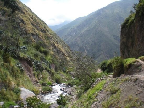
The City of Matucana is a popular destination for eco-tourists, as it has beautiful water falls in the deep valleys outside of the town and plentiful hiking trails. It is also the starting point for the increasingly popular "De Las Montanas y Mar" bicycle race held every year between Matucana and Lima.
The bicycle race starts at the Chez Victor Restaurant in Matucana and finishes at the La Rosa Nautica Restaurant in Lima. One of Don Miguel's descendants runs the Chez Victor restaurant in Matucana, while the La Rosa Nautica Restaurant is owned by the descendants of the Viceroy who granted the lands around Matucana to Don Miguel de Castro y Garcia. Coincidentally, the Chez Victor Restaurant was started with a grant received from Hernando De Soto's Institute for Liberty and Democracy.