
Country United States Time zone CST (UTC-6) Elevation 218 m Local time Wednesday 8:00 AM | Established November 8, 1859 ZIP codes 61928, 61938 Area 93.68 km² Population 15,817 (2010) | |
 | ||
Weather -8°C, Wind NW at 18 km/h, 72% Humidity | ||
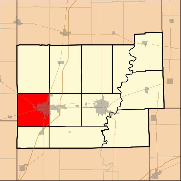
Mattoon Township is one of twelve townships in Coles County, Illinois, USA. As of the 2010 census, its population was 15,817 and it contained 7,536 housing units.
Contents
- Map of Mattoon Township IL 61938 USA
- Geography
- Cities towns villages
- Extinct towns
- Cemeteries
- Major highways
- School districts
- Political districts
- References
Map of Mattoon Township, IL 61938, USA
Geography
According to the 2010 census, the township has a total area of 36.17 square miles (93.7 km2), all land.
Cities, towns, villages
Extinct towns
Cemeteries
The township contains two cemeteries: Calvary and Dodge Grove.
Major highways
School districts
Political districts
References
Mattoon Township, Coles County, Illinois Wikipedia(Text) CC BY-SA