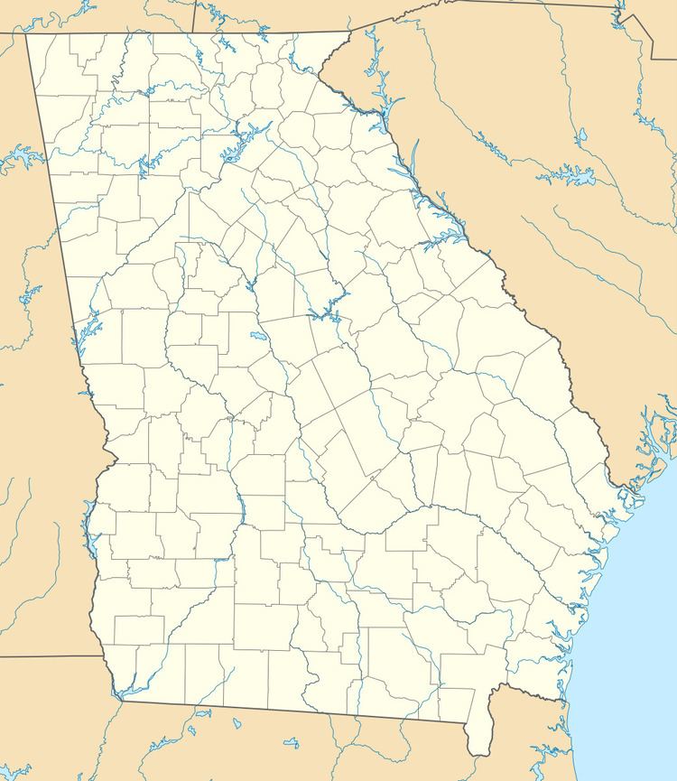
Country United States GNIS feature ID 332331 Zip code 30818 Area code 478 | Time zone Eastern (EST) (UTC-5) Elevation 119 m Population 150 (2010) | |
 | ||
Area 86.85 km² (9.119 km² Land / 3 ha Water) | ||
Matthews is a census-designated place and unincorporated community in Jefferson County, Georgia, United States. Its population was 150 as of the 2010 census. Georgia State Route 88 passes through the community.
References
Matthews, Georgia Wikipedia(Text) CC BY-SA
