
- right Poni River Sources Poni River, Matta River | Length 166 km | |
 | ||
- left Matta River, South River - location West Point, King William County | ||
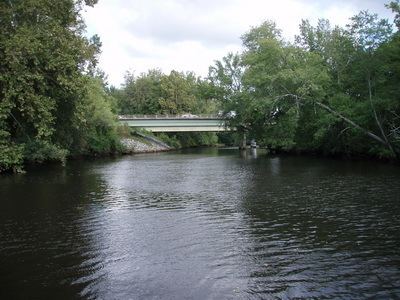
The Mattaponi River is a 103-mile-long (166 km) tributary of the York River estuary in eastern Virginia in the United States.
Contents
Map of Mattaponi River, Virginia, USA
HistoryEdit
Historically, the Mattaponi River has been known by a variety of names and alternate spellings, including Mat-ta-pa-ment, Matapanient River, Matapany River, Matapeneugh River, Mattapanient River, Mattaponie River, Mattapony River, and Riviere de Mattapony. The current name and spelling of "Mattaponi" was set by official decisions of the United States Board on Geographic Names in 1897 and 1936.
Residents of the counties surrounding Mattaponi River have debated a proposed reservoir on the Mattaponi River, with environmental groups such as the Sierra Club, members of the Mattaponi Indian tribe, and residents of King William County opposing Newport News Waterworks in their efforts to build the King William Reservoir.
CourseEdit
The Mattaponi River ultimately rises as four streams in Spotsylvania County, each of which is given a shorter piece of the Mattaponi's name:
From the confluence of its tributaries, the Mattaponi flows generally southeast through Caroline County, where it collects the South River at the southern edge of the Mattaponi Wildlife Management Area; in its lower reaches it defines the boundary between King William and King and Queen counties. At West Point, it meets the Pamunkey River to form the York River.