
Country Brazil Local time Wednesday 4:37 AM | Mesoregion Noroeste Rio-Grandense Time zone BRT/BRST (UTC-3/-2) | |
 | ||
Weather 19°C, Wind E at 10 km/h, 85% Humidity | ||
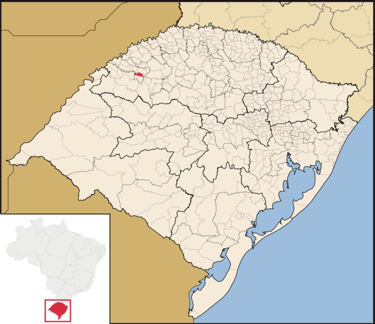
Mato Queimado is a Brazilian municipality located in the northwestern part of the state of Rio Grande do Sul. The population is 1,798 (2015 est.) in an area of 114.64 km². It is located 489 km west of the state capital of Porto Alegre and northeast of Alegrete.
Contents
Map of Mato Queimado - RS, Brazil
References
Mato Queimado Wikipedia(Text) CC BY-SA