
Established 1863 | Postcode(s) 3723 | |
 | ||
LGA(s) Shire of MansfieldShire of Yarra Ranges | ||
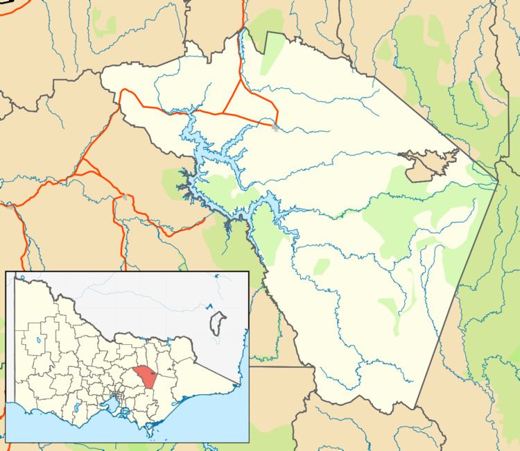
Matlock is a town in Victoria, Australia on the Warburton–Woods Point Road, in the Shire of Mansfield.
The town began after gold was discovered in 1863. The Post Office opened on 21 July 1864, closed in 1934, reopened in 1956 (when a sawmill was established) and closed in 1970. Prior to 1864 the town was known as Emerald Hill, but was changed to avoid confusion with the Melbourne suburb of the same name (this second locality later underwent a name change to South Melbourne). At its peak, the town had a population of around 300, and included several suburbs including Thackery, Alhambra, Mutton Town, and Harpers Creek.
The town was destroyed by fire in 1873, and a smaller village was built in a slightly different location. Mining activity slowed in the 1870s and 1880s, although there was a resurgence in population in the 1890s. By the 1930s only two businesses remained; a wine shop and a post office. A sawmill operated from 1953 to 1975.