
Lok Sabha constituency Darjeeling | Time zone IST (UTC+5:30) | |
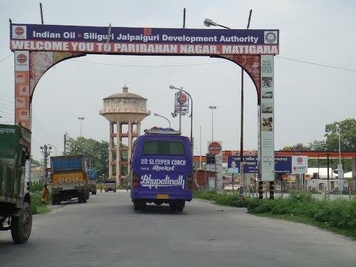 | ||
Matigara (community development block) is an administrative division in Siliguri subdivision of Darjeeling district in the Indian state of West Bengal. Matigara Investigation Centre and Siliguri police stations serve this block. Headquarters of this block is at Kadamtala. There is one census town in this block:Bairatisal,
Contents
Map of Matigara, West Bengal
Geography
Matigara is located at 26°43′0″N 88°23′0″E at an elevation of 127 m above sea level.
Matigara community development block has an area of 140.60 km2.
Administration
Matigara block consists of one census town: Bairatisal and rural areas with 5 gram panchayats, viz. Atharakhai, Matigara–I, Patharghata, Champasari and Matigara–II. This block has two police stations: Siliguri and Matigara. The headquarters of this block is in Kadamtala.
Demographics
As per 2011 Census of India Matigara CD Block had a total population of 197,278 of which 135,583 were rural and 61,695 were urban. There were 101,023 males and 96.255 females. Scheduled Castes numbered 70,527 and Scheduled Tribes numbered 26,484.
Literacy
As per 2011 census the total number of literates in Matigara CD Block was 129,006 out of which 72,352 were males and 56,654 were females.
Transport
National Highway 55 and National Highway 31 pass through Matigara.