
Time zone EET (UTC+2) Vehicle registration ΚΥ Area 3.1 km² | Highest elevation 152 m (499 ft) Postal code 491 00 Website mathraki.corfumail.gr Area code 26630 Municipality Corfu Island | |
 | ||
Similar Ionian Islands, Sidari, Palaiokastritsa, Vido, Pontikonisi | ||
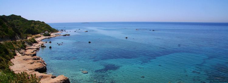
Mathraki (Greek: Μαθράκι, older form: Μαθράκιον) is an island and a former community of the Ionian Islands, Greece. It is one of the Diapontia Islands. Since the 2011 local government reform it is part of the municipality of Corfu, of which it is a municipal unit. The municipal unit has an area of 3.532 km2. Population 329 (2011). Mathraki is a 45-minute boat ride off the coast of Corfu (4 NM from Cape Arilas). It has three restaurants that double as general stores, villas and "rooms to let". Mathraki is a quiet island that manages to stay clear of tourists except for the occasional hikers that brave the rocky coastline. The municipal unit includes the three nearby islets Diakopo, Diaplo and Tracheia.
Contents
Map of Mathraki, Greece
History
Mathraki was inhabited during the last centuries by settlers from the nearby island of Othonoi. The origin of its name is unknown, but according to a popular tradition, derives from anthrakia, because in the past the island had been burnt. It became part of Greece in 1864, when the Ionian islands were ceded to Greece by the British. Today is a serene and tranquil place for holidays.