
Population 280 Civil parish Mathon Local time Wednesday 6:16 AM | OS grid reference SO734458 Sovereign state United Kingdom | |
 | ||
Weather 6°C, Wind W at 5 km/h, 100% Humidity | ||
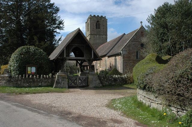
Mathon is a small village and civil parish in eastern Herefordshire, England, lying just to the west of the Malvern Hills between Malvern and Ledbury. Nearby villages include Cradley and Colwall. Immediately to the east is the country boundary with Worcestershire.
Contents
Map of Mathon, UK
The population was recorded by the 2011 census at 280.
Politics
Mathon has a parish council.
The parishes of Bosbury, Coddington, Colwall, and Mathon together form the ward of Hope End, which returns one elected councillor to Herefordshire Council. The most recent election was in May 2015, in which the Conservative candidate, Tony Johnson, was elected. Councillor Johnson is the Leader of the Council.
References
Mathon, Herefordshire Wikipedia(Text) CC BY-SA