
Country Canada Constituted January 1, 1986 Highways No major routes Local time Tuesday 10:57 PM Province Québec | Region Abitibi-Témiscamingue Time zone EST (UTC−5) Area 163.5 km² Population 0 (2011) RCM Abitibi-Témiscamingue | |
 | ||
Weather -14°C, Wind N at 24 km/h, 64% Humidity | ||
Matchi-Manitou is an unorganized territory in the Abitibi-Témiscamingue region of Quebec, Canada. It is one of five unorganized territories in La Vallée-de-l'Or Regional County Municipality.
Contents
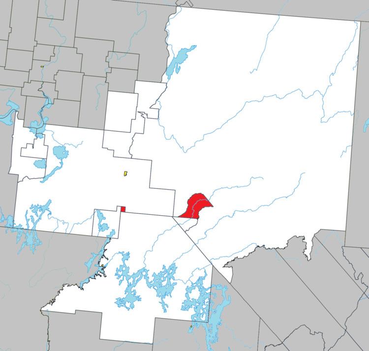
Map of Matchi-Manitou, QC, Canada
Until July 6, 1996, Matchi-Manitou was a vast unorganized territory encompassing 16,760 square kilometres (6,470 sq mi). On that day, most of it was added to the City of Senneterre and a smaller portion to the City of Val-d'Or. It retained only two small non-contiguous areas, of which its eastern part is a section of land straddling both banks of the Chochocouane River and mostly part of the La Vérendrye Wildlife Reserve.
It is named after Matchi-Manitou Lake (48°01′N 77°03′W), which used to be within its limits, but since 1996 is part of Senneterre and Val-d'Or.
Demographics
Population: