Time zone SAST (UTC+2) Area 4,352 km² Black african population 98.1% Native sotho speakers 33.3% | District Alfred Nzo Wards 26 Municipal code EC441 White population 0.7% Native english speakers 2.9% Native xhosa speakers 57.4% | |
 | ||
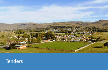
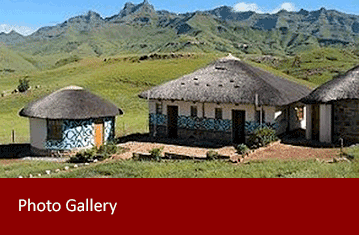
Mango moments with matatiele local municipality
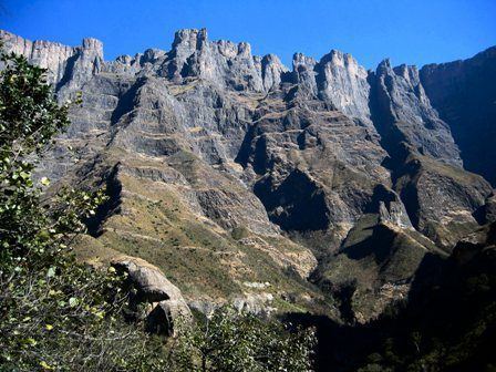
Matatiele Local Municipality is an administrative area in the Alfred Nzo District of Eastern Cape in South Africa.
Contents
- Mango moments with matatiele local municipality
- Matatiele local municipality
- Main places
- Politics
- References
The name is derived from the Sesotho language and it means "the ducks have flown", in an apparent reference to the abundance of waterfowl that even today inhabit the surrounding pools and marshes.
Matatiele local municipality
Main places
The 2001 census divided the municipality into the following main places:
Politics

The municipal council consists of fifty-one members elected by mixed-member proportional representation. Twenty-six councillors are elected by first-past-the-post voting in twenty-six wards, while the remaining twenty-five are chosen from party lists so that the total number of party representatives is proportional to the number of votes received. In the election of 3 August 2016 the African National Congress (ANC) won a majority of thirty-eight seats on the council. The following table shows the results of the election.