
Area 8,523 km² | Team Deportivo Sebaco | |
 | ||
Points of interest Cerro Apante Natural R, Selva Negra Mountain, Museo de Rubén Darío, Finca Esperanza Verde, Casa Cuna Carlos Fonseca Destinations Matagalpa - Nicaragua, San Ramón - Matagalpa, Sébaco, Cerro Apante Natural R, Tuma‑La Dalia | ||
Matagalpa ([mataˈɣalpa]) is a department or region in central Nicaragua. It covers an area of 8,523 km² and has a population of 644,900 (2010 est). The capital is the city of Matagalpa with about 250.000.
Contents
Map of Matagalpa Department, Nicaragua
Matagalpa is the second region of the country in population size, and the fourth in area (after the North Atlantic, the South Atlantic, and Jinotega.
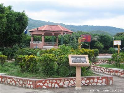
Matagalpa is the most diversified region producing coffee, cattle, milk products, vegetables, wood, gold, flowers. Its extensive forests, rivers and geography are suited for ecotourism.
Municipalities
- Ciudad Darío
- Esquipulas
- Matagalpa
- Matiguas
- Muy Muy
- Rancho Grande
- Río Blanco
- San Dionisio
- San Isidro
- San Ramón
- Sébaco
- Terrabona
- Tuma-La Dalia
References
Matagalpa Department Wikipedia(Text) CC BY-SA